Observed Infrared Context
Cosmoglobe DR2 provides zodiacal-light-subtracted, mission-average COBE-DIRBE maps in five infrared bands. Their native observational limitations remain.


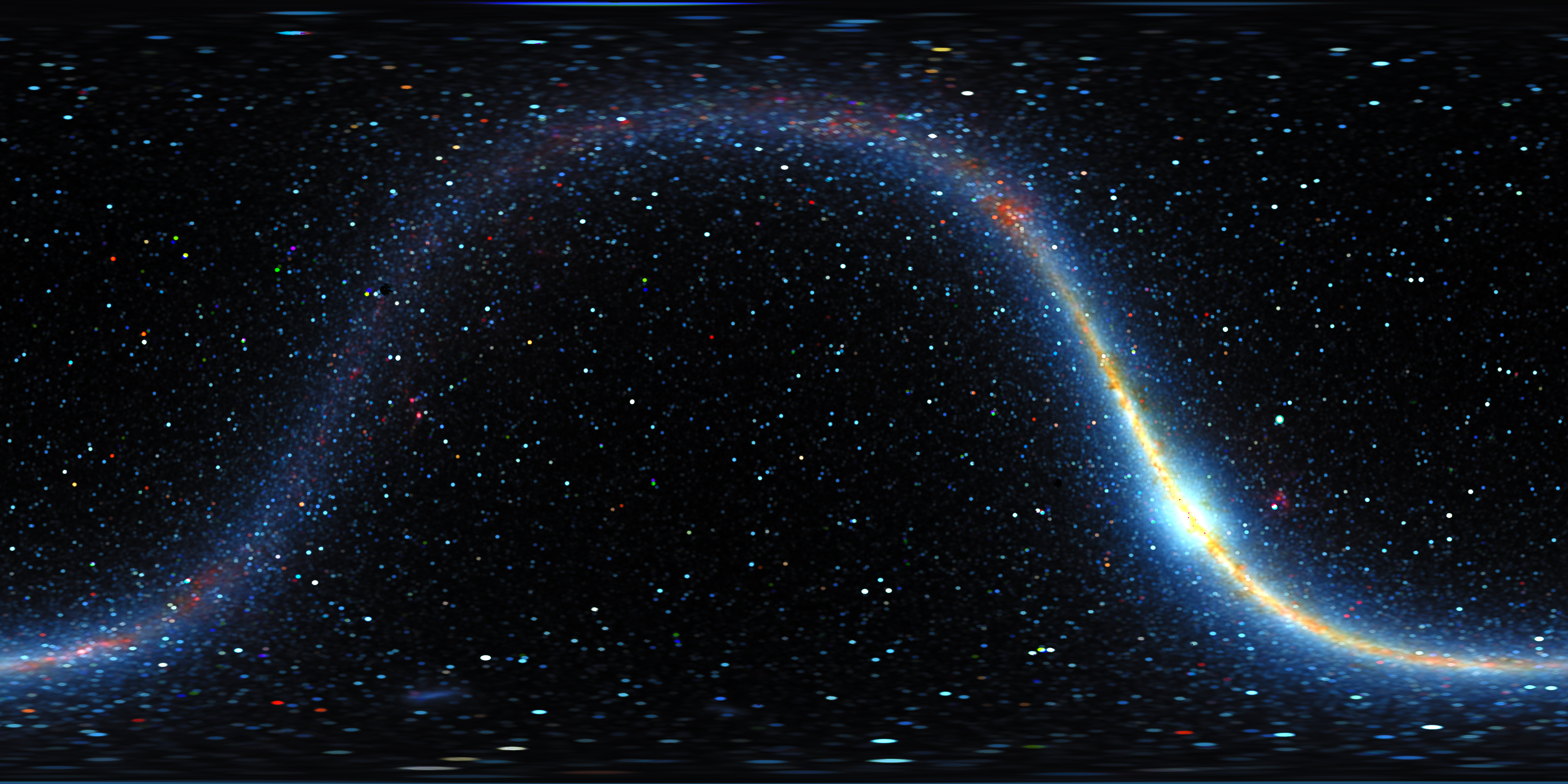
A false-colour infrared visualization based on COBE-DIRBE observations reprocessed by Cosmoglobe. Selected stellar sources are reconstructed for an observer at the Proxima Centauri system barycentre proxy, while diffuse emission retains its Earth-derived context.
Scientific Basis
The model combines observed full-sky infrared maps with selected stellar corrections for a changed observer position. It is a conditional visualization of the Proxima-view sky: untreated stars, unresolved emission and diffuse structure remain Earth-derived.
Cosmoglobe DR2 provides zodiacal-light-subtracted, mission-average COBE-DIRBE maps in five infrared bands. Their native observational limitations remain.
Accepted source models are reconstructed at Proxima-view directions with distance-dependent band fluxes. The Sun is added; Proxima itself is excluded from this background.
Selected old source positions use locally estimated backgrounds to suppress residual emission. These estimates can also remove unresolved real structure and are identified by the provenance masks.
The equatorial and Galactic images share the same model and epoch. The Galactic edition reprojects display RGB; it is not a flux-conserving scientific reprojection.
Public Downloads
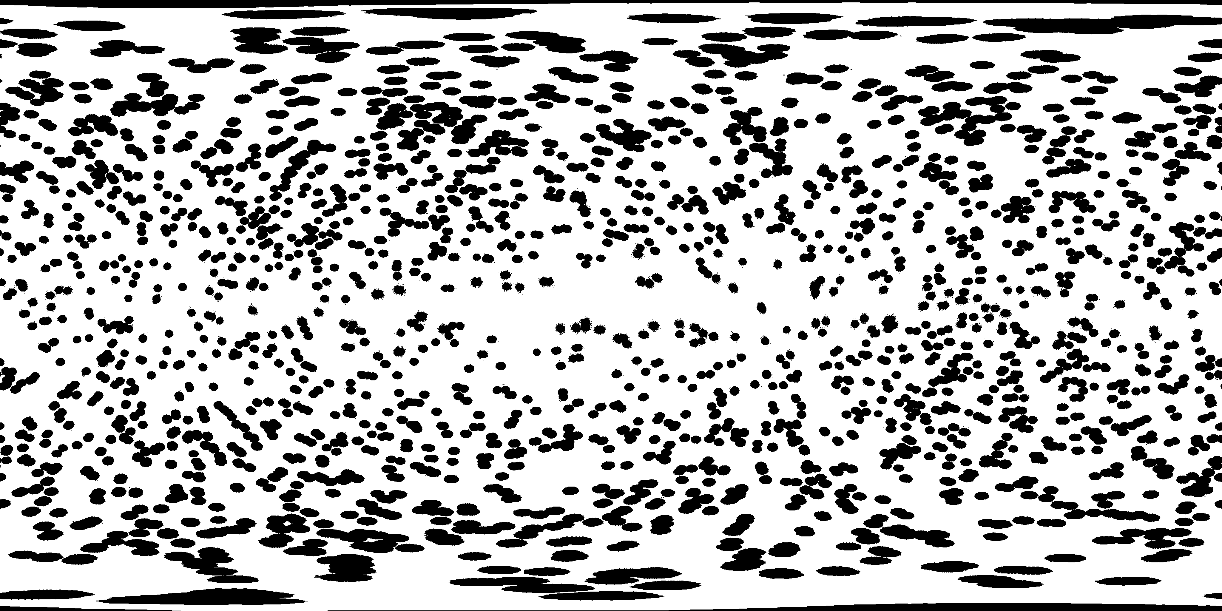
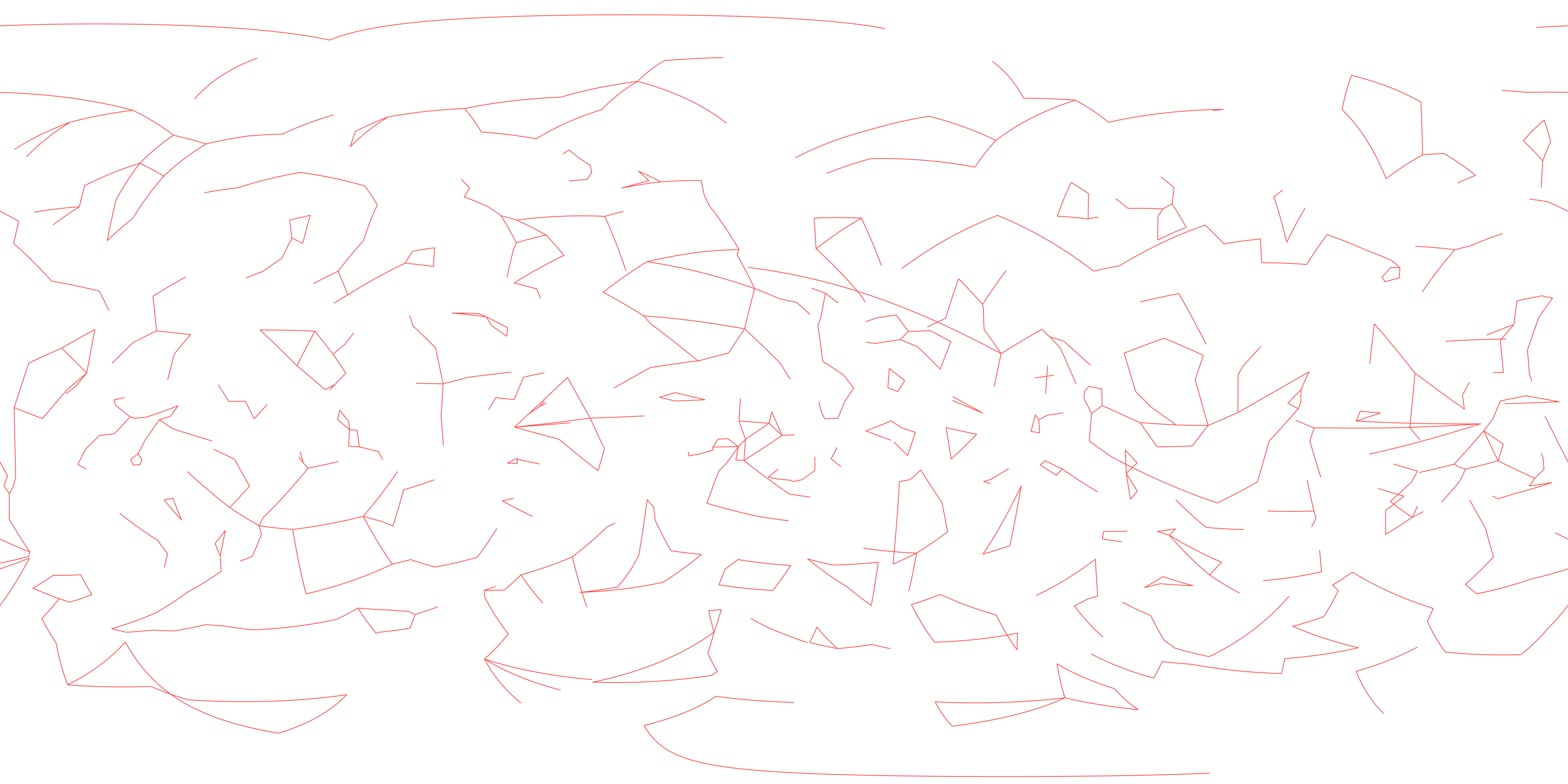
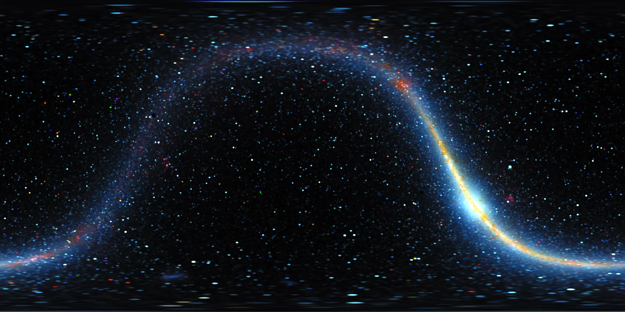
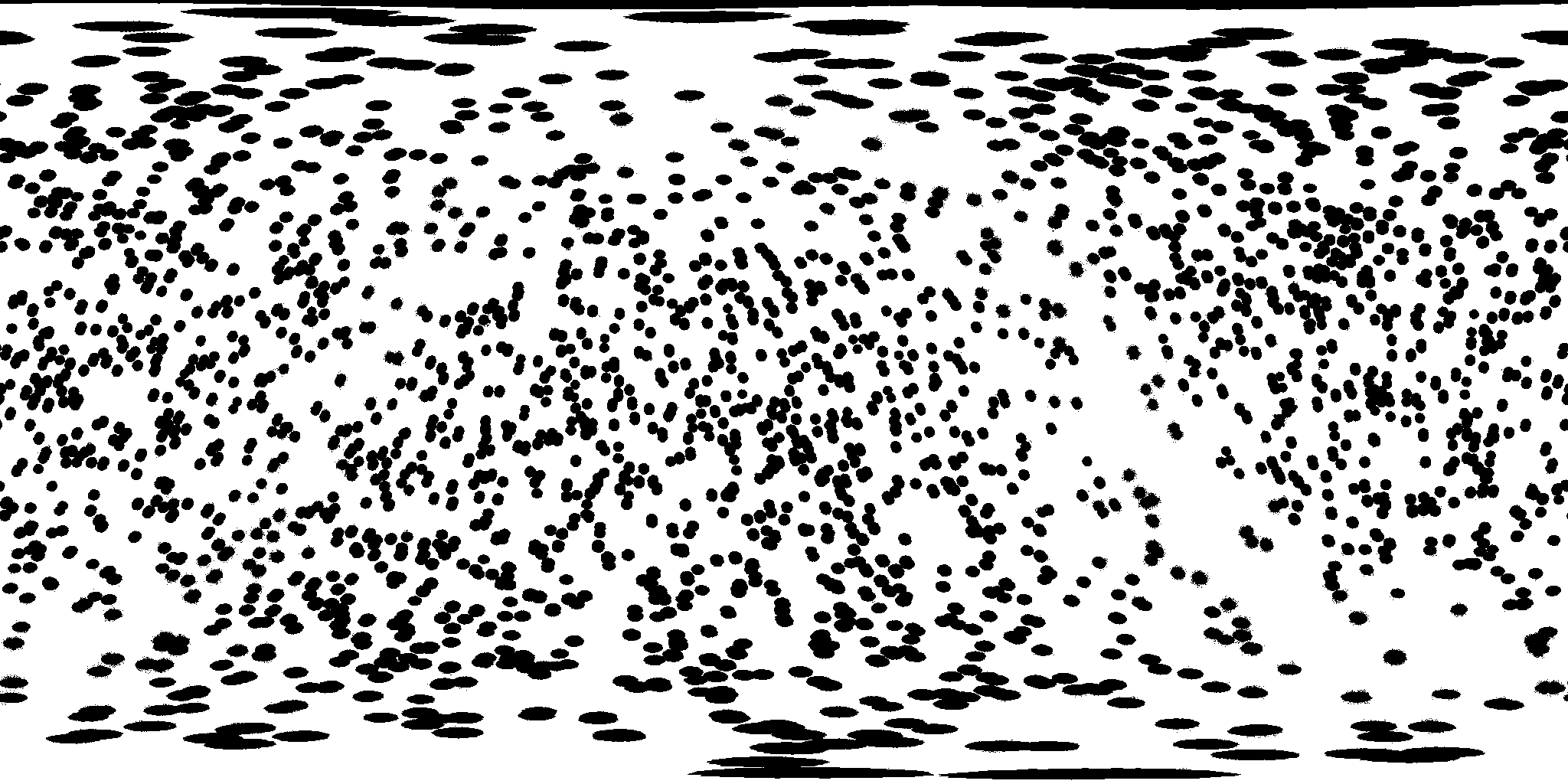
Each coordinate edition includes a sky image, its provenance mask and a transparent constellation overlay. The previews below are 2048 × 1024; all download links provide the full 4096 × 2048 PNG files. Match the coordinate frame when combining layers.
Celestial coordinates / ICRS
Plate-carrée equatorial map centred at RA = 0 h, with right ascension increasing left and celestial north up. This is the lossless display image of the infrared reconstruction, including selected relocated stellar sources and Earth-derived diffuse context.
Celestial coordinates / ICRS
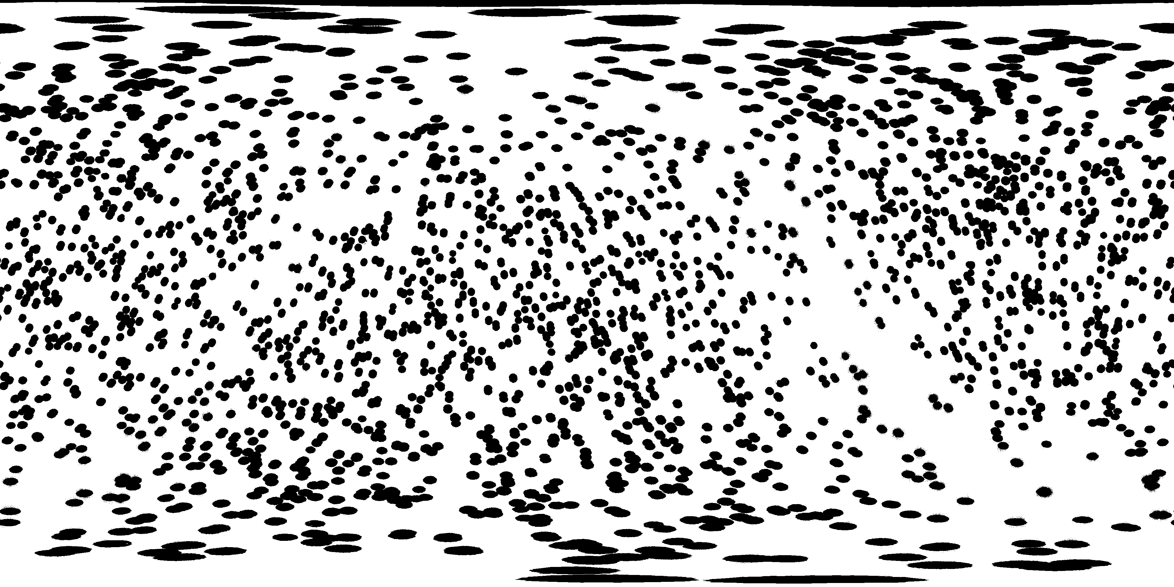
Black marks source-correction and local background-reconstruction support, together with actual lossless image changes; white marks unchanged regions. The mask identifies 23.810% of output pixels as modified. This is an image-pixel fraction, not an equal-area sky fraction or a confidence measure. Use the full-resolution PNG for exact binary values.
Celestial coordinates / ICRS
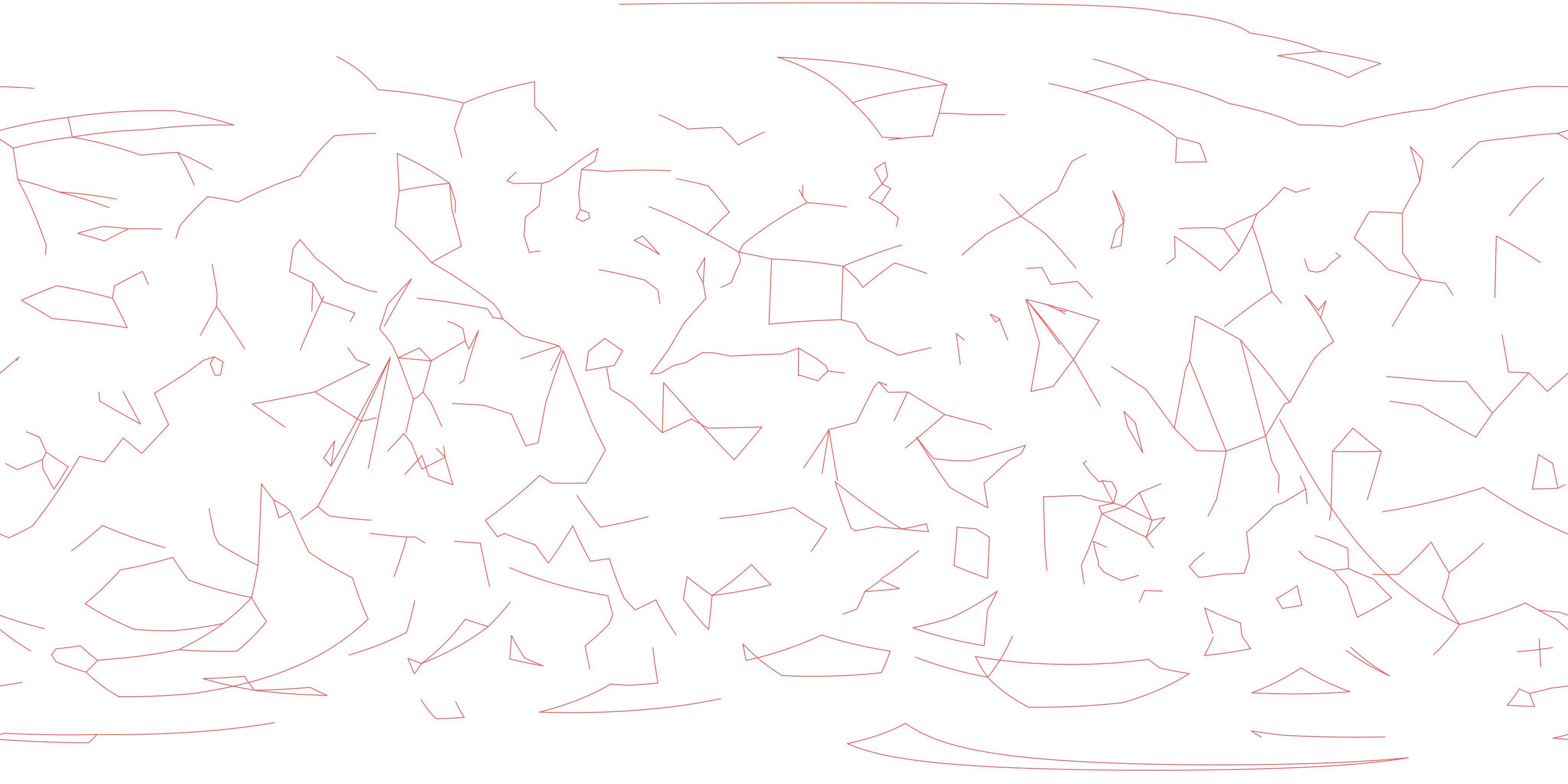
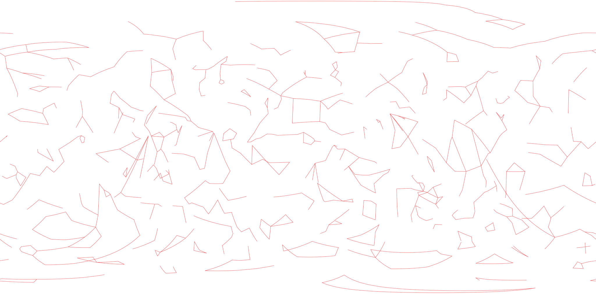
Transparent red overlay of conventional constellation figures at J2028.5270, sharing the equatorial map orientation. The overlay contains 743 connections between 757 Proxima-view stellar anchors across all 88 constellations. These are reference figures, not official IAU boundaries; individual anchors need not be distinguishable in the infrared image.
Galactic coordinates
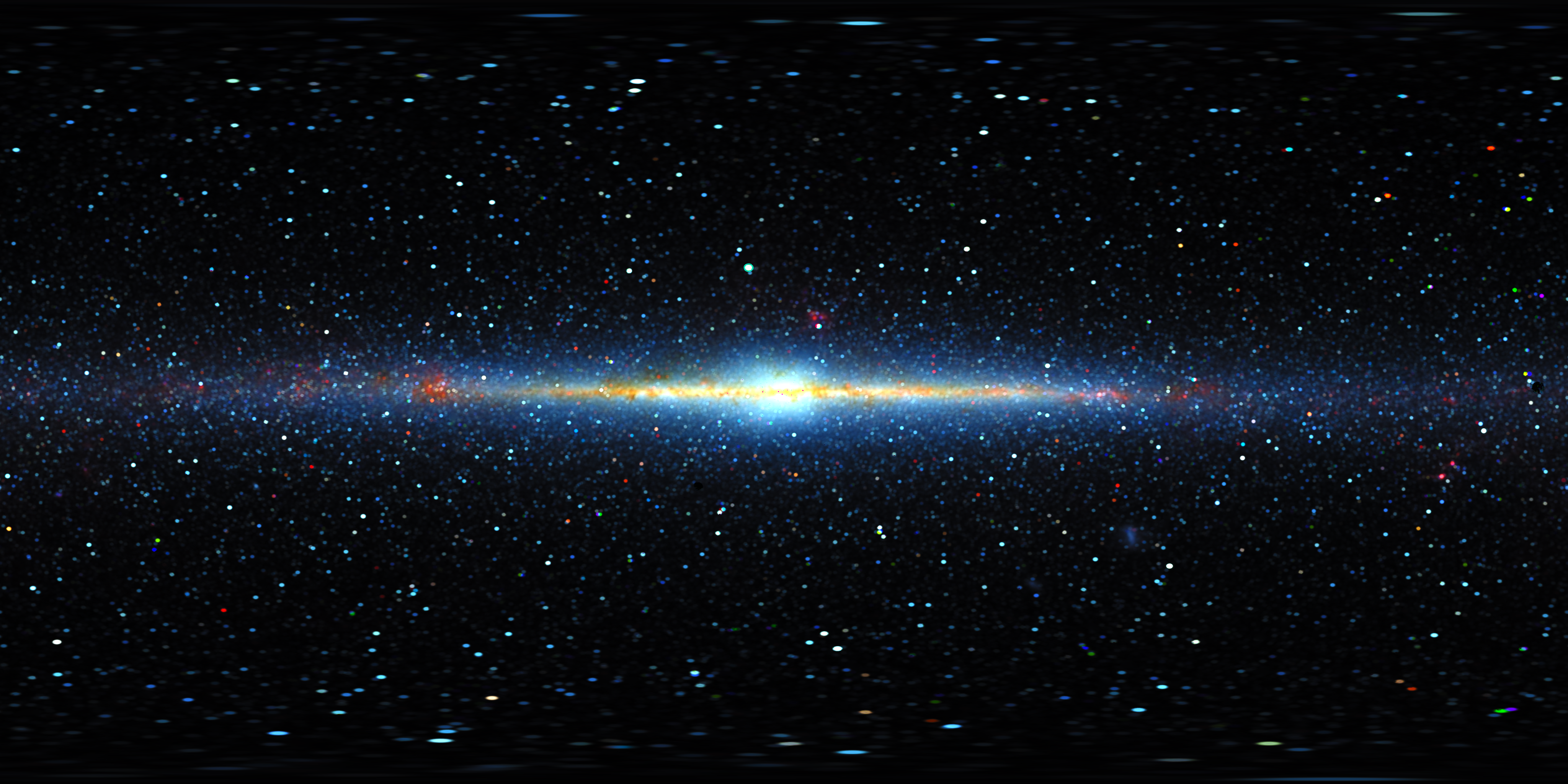
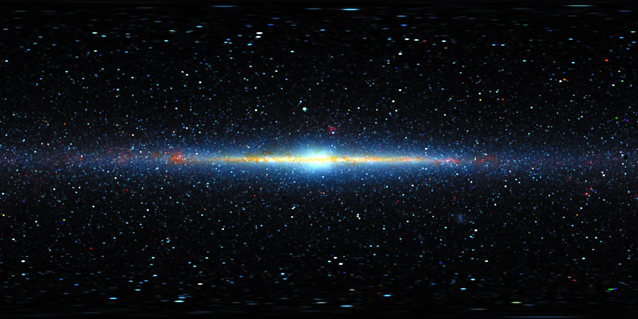
Plate-carrée Galactic map centred at l = 0°, with longitude increasing left and Galactic north up. This edition is reprojected from the equatorial display image and represents the same sources, reference epoch and reconstruction. The coordinate change does not increase physical angular resolution.
Galactic coordinates
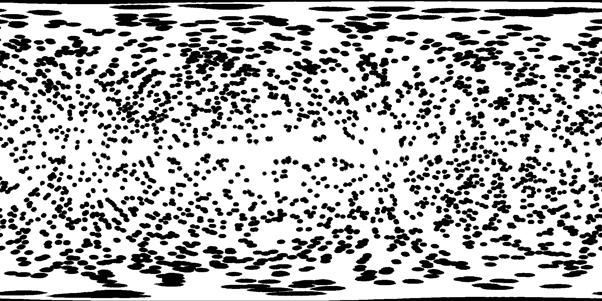
Black marks pixels receiving any contribution from modified equatorial regions, together with actual lossless image changes; white marks unchanged regions. Conservative reprojection marks 27.596% of output pixels. The larger fraction reflects resampling, not additional reconstructed sources or greater sky coverage. Use this mask with the Galactic image.
Galactic coordinates
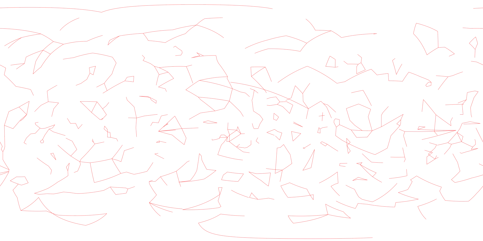
The same transparent red constellation figures expressed in Galactic coordinates, with Galactic north up and longitude increasing left. Use this overlay with the Galactic Near-IR map. Its conventional line figures provide orientation and do not represent official IAU boundaries or measured infrared structures.
Public Use
Unless a specific file is marked otherwise, the Near-IR sky, provenance and constellation-line files offered on this page are free to use under the Creative Commons Attribution 4.0 International licence. Reuse, redistribution, publication, adaptation and commercial use are permitted, provided attribution is retained and modifications are identified.
Free download does not place these products in the public domain. Credit to 1gSpace and a working link to this product page are required wherever the files, modified versions or imagery substantially derived from them are published. Include a link to the licence and indicate any changes.
1gSpace Proxima-Centred Near-IR Sky. Source: 1gSpace Near-IR product page. Licensed under CC BY 4.0.
CC BY 4.0 applies only to rights controlled by 1gSpace. Incorporated COBE-DIRBE and Cosmoglobe data, stellar catalogues, spectra and constellation topology retain their respective source status, attribution requirements and usage conditions. Reuse must not imply endorsement by NASA, ESA, Cosmoglobe, CDS or any contributing institution.
Credits and Source Data
1gSpace Proxima-Centred Infrared Sky, Native08 equatorial and Galactic editions. Scientific basis: consolidated methodology, Version 3.1, 2 October 2026.
NASA COBE-DIRBE observations and the Cosmoglobe DR2 reprocessing described by Watts et al. (2024). Stellar photometry uses the Smith et al. (2004) DIRBE catalogue and Price et al. (2010; 2011 erratum) measurements.
Bright Star Catalogue; Hipparcos new reduction; Alpha Centauri astrometry from Akeson et al.; CK04 atmosphere models; Kervella et al. angular diameters; TSIS-1 HSRS v2 and Rieke solar spectra.
Conventional figure topology from d3-celestial by Olaf Frohn, used under the BSD 3-Clause licence. The overlays are shared with the Visible Starfield product.